WELCOME TO GET HIGH DRONES
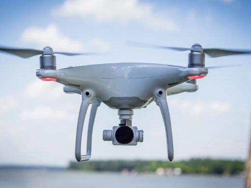

GET High Drones is a drone services provider, offering drone technology solutions for commercial and residential consumers. Our suite of products includes flight services, data analysis, regulatory consulting, and training, with our Part 107 Certified Commercial Pilots. Our services, and innovative UAV drone solutions, delivers on operational challenges with efficiency, reliability, and safety.
Commercial
Construction
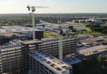
Save time, improve communication, and reduce cost by using aerial and ground data to perform surveys, conduct inspections, and document every job site. Bringing full site documentation into one solution, Capture interior, exterior, ground, and aerial data. Through a digital twin of your job site and in-depth analysis, projects run on time, on budget, and safely.
Residential
Construction
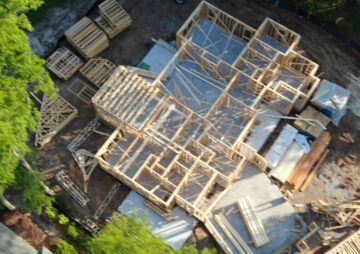
Quickly survey your job site and build maps. Instead of using human resources, heavy machinery & expensive surveying tools, that produce complex data, you can get the job done in half the time, with greater accuracy.
Monitor jobs on or off-site for progress and site safety.
Heavy Civil
Construction
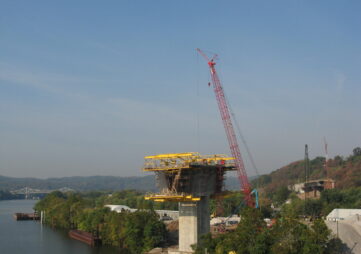
The use of drones for bridge, pavement, and light-pole inspections, and to gather aerial views of highway construction progress, can help you keep an eye on your infrastructure.
Drones deliver much better data about what’s going on, without requiring inspectors to climb to heights, go up in a bucket truck, or be in proximity of speeding traffic. One study found drones could detect concrete crack sizes on bridges down to 0.02 inches, even in low-light conditions.
Mining
Metal & Non-Metal
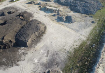
Drones are a revolution for the mining industry. Less expensive than traditional air support like planes or helicopters, drones offer an all-important aerial perspective for mining companies. Additionally, since drones are equipped with mapping capabilities, they provide more accurate results at a fraction of the cost, with advanced data collection and improved safety. From surveying mine progress to planning for new mines, drones are an excellent way to increase efficiencies in the mining industry.
Energy
Power Generation & Transmission
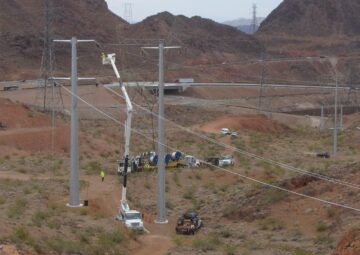
Every year, line workers are injured by electrocution, falls, and other hazards. Since drones are agile, small, and lightweight, they can cover a lot of territory that a traditional aerial vehicle could not. And, because they aren’t manned, they don’t represent any human danger. Aerial mapping is one of the most effective ways to conduct powerline inspections. Drone video recording allows better assessment of faults in the existing lines.

Energy
Renewables
Drones can easily inspect wind turbines with the accuracy and acuity of a manual inspection, without putting a worker at risk or requiring them to access the turbine itself. Not only does this reduce the dangers associated with inspection and maintenance, but it additionally reduces the prospect of accidental damage to the turbine. Studies show that customers can reduce residential solar system measurement times by up to 50 percent and reduce commercial measurement times from days to minutes. In addition, on-board thermal imagery can help to ensure that equipment is in the optimal position for maximum production.
Roofing
Commercial & Residential
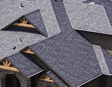
Because of the risk that comes with working at heights, one of the primary ways drones are being deployed in property management is for the purpose of roof inspections. Drones can gather high-quality, objective data in a fraction of the time and at a fraction of the cost when compared to manual methods. . We utilize our drones to assess your property’s structural condition from above, and detect costly issues before they become critical.
Disaster
Preparation & Management
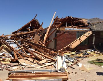
Right after disaster hits, it can be too risky to send in ground support. That’s where our drones come in. We have comprehensive software solutions that will quickly and securely extract the information for you to analyze and create reports, generating better outcomes for everyone.
Property Inspection &
Facility Management
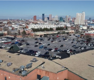
Improve your annual budgeting process with automated condition assessments. Finally, reports you can rely on. Plan & budget effectively with automated roof, pavement, & exterior condition assessment reports. Create, pinpoint, & communicate visual scope of repairs with contractors. Accurately assess risk & claims with aerial & thermal documentation.
360° Virtual Business Tour Walk Thru
Elevate Your Perspective with a 360° Virtual Business Tour
Perfect for:
Airports, Bars, Brewing Companies, Dance Studios, Hotels, Getaway Spots, Retail Stores, Gyms, Winery, Restaurants, Entertainment Venues,
Local Shopping Districts, Towns, Nursing Facilities, Car, Boat, RV Dealerships, and so much more!