Commercial Construction.
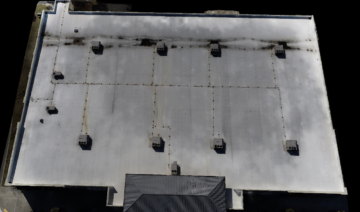
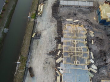
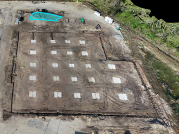
GET High Drones can help you save time, improve communication, and reduce cost by using aerial and ground data to perform surveys, conduct inspections, and document every job site.
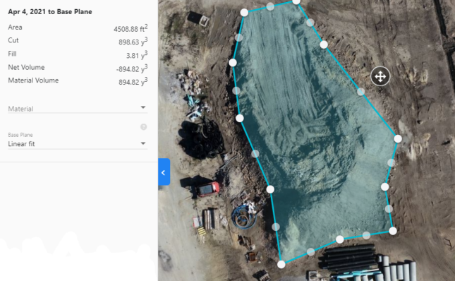
Our capabilities make it faster and easier than ever to accurately measure earthmoving needed to reach finished grade.
Capture and process accurate drone-based elevation data in a matter of hours.
Drone Imagery studies have shown to save numerous man-hours because of accuracy across construction sites.
GET High Drones can automatically measure, track,
& categorize stockpiles on site.


